All Lands Explorer

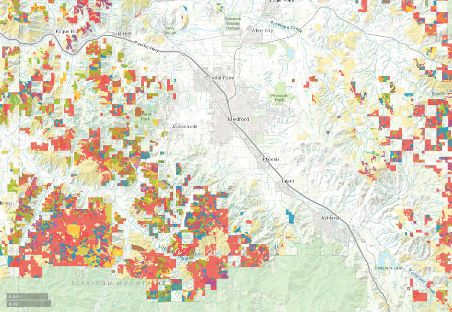
The forested landscapes of the Rogue Basin are truly an all-lands landscape. Federal land intersperses with private lands, and woodlands still grow down to the valley bottoms where most communities are situated. SOFRC and partners recognized that with the many forest restoration projects planned, underway, or completed on federal and private lands, it was difficult to visualize the overlap of projects and strategic opportunities for coordination and collaboration in an all-lands context.
Sharing Geospatial Data to Improve Collaboration
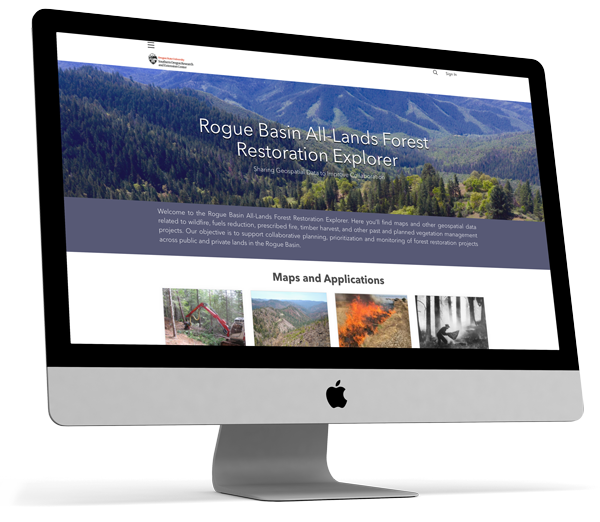
The Rogue Basin All-Lands Forest Restoration Explorer provides geospatial tools and a data repository in ArcGIS online. Within the interactive website, you’ll find maps and other geospatial data related to wildfires, fuels reduction, prescribed fire, timber harvest, and other past and planned vegetation management projects.
The All-Lands Explorer’s objective is to support collaborative planning, prioritization, and monitoring of forest restoration projects across public and private lands in the Rogue Basin.
These tools are available to analyze existing data sets of past, current, and planned future vegetation management activities on BLM, USFS, and private lands in the Rogue Basin, as well as treatment and planning area priorities identified in the Rogue Basin Cohesive Forest Restoration Strategy and wildfire risk assessment. Vegetation management activities include fuels reduction projects (non-commercial thinning, pile and burn, etc.), prescribed burning, timber sales, as well as recent fire history.
Geospatial tools will also help partners identify opportunities to get involved in project planning and development, including the NEPA process. They can be used as a tool to monitor treatment efficacy.
The All-Lands Explorer is a valuable education tool geared toward answering questions from the public and community partners.
Powering our partners
for healthier forests
The Rogue Basin All-Lands Forest Restoration Explorer emerged from the Rogue Basin Cohesive Forest Restoration Partnership, a group consisting of representatives of the Medford District, Bureau of Land Management, Rogue River Siskiyou National Forest, Oregon Department of Forestry, and the Southern Oregon Forest Restoration Collaborative.
The recently developed Rogue Basin Cohesive Forest Restoration Strategy and quantitative wildfire risk assessment maps are located on the site and provide tools for project identification and prioritization and are a key piece of the newly developed Rogue Valley Integrated Fire Plan (Jackson & Josephine Co.).
For more information on how you or your organization can get involved, please contact us or join our newsletter for project updates.

